Log in
All resources
Create a design
3,172 Free Images of Bay Of Islands
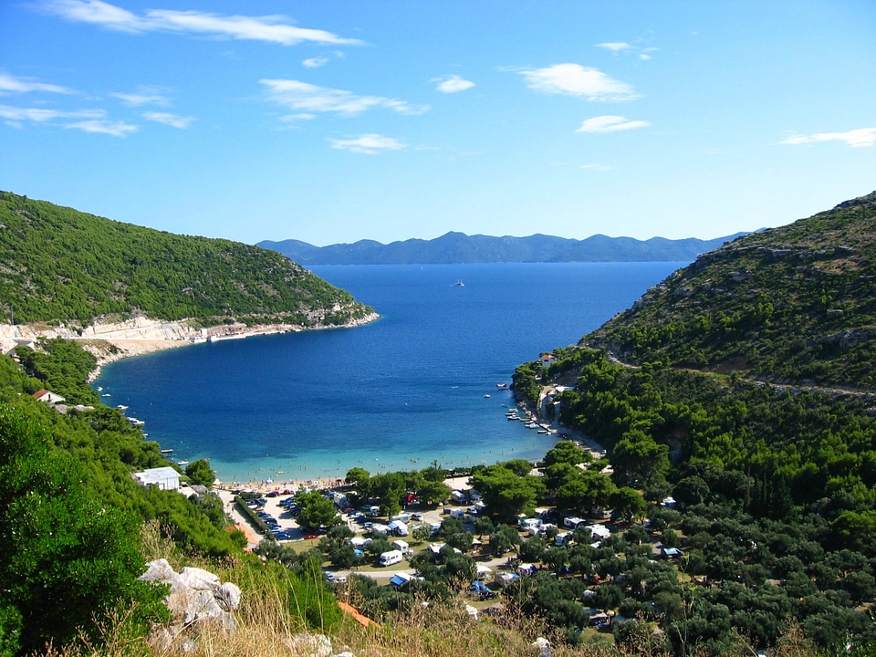
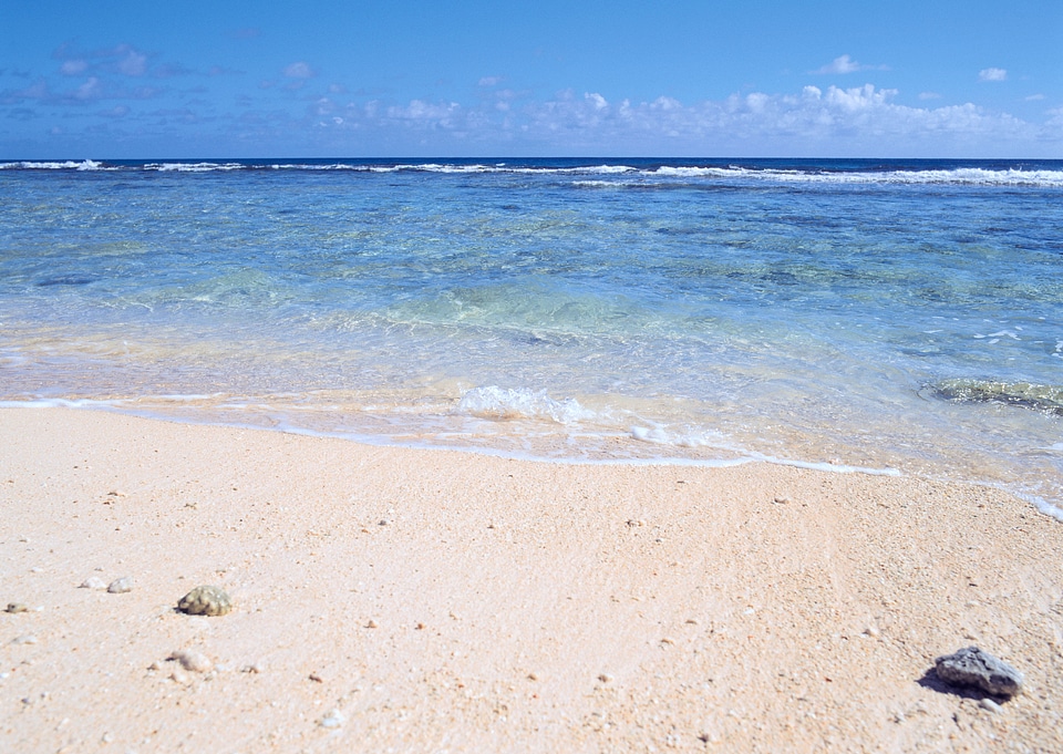
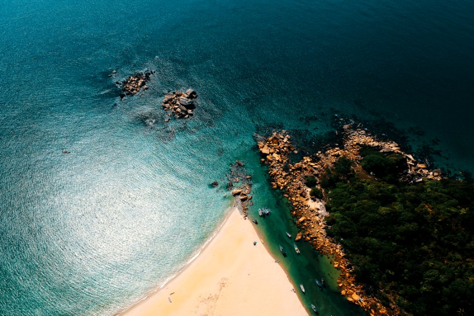
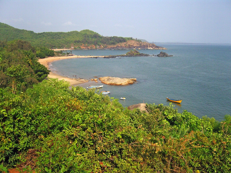
beach
coast
sea
water
free cliparts
shore
landscape
ocean
blue
tropical
landscape
building
travel
tree
united states
color
landscape
travel
landscape
travel
travel
sea
travel
sea
landscape
travel
background
tree
background
tree
landscape
building
landscape
building
landscape
travel
landscape
nature
background
tree
vegetables
building
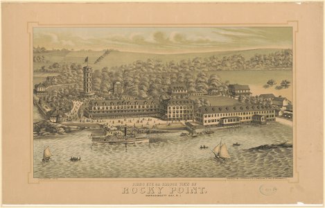
aerial photographs of rhode island
gould island (rhode island)
twin towers (new york city) in 1980
battery park city
islands
water
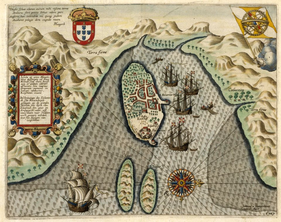
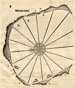
overwintering on nova zembla by willem barentsz, 1596-1597
maps in the rijksmuseum amsterdam
landscape
travel
background
tree
water
tree
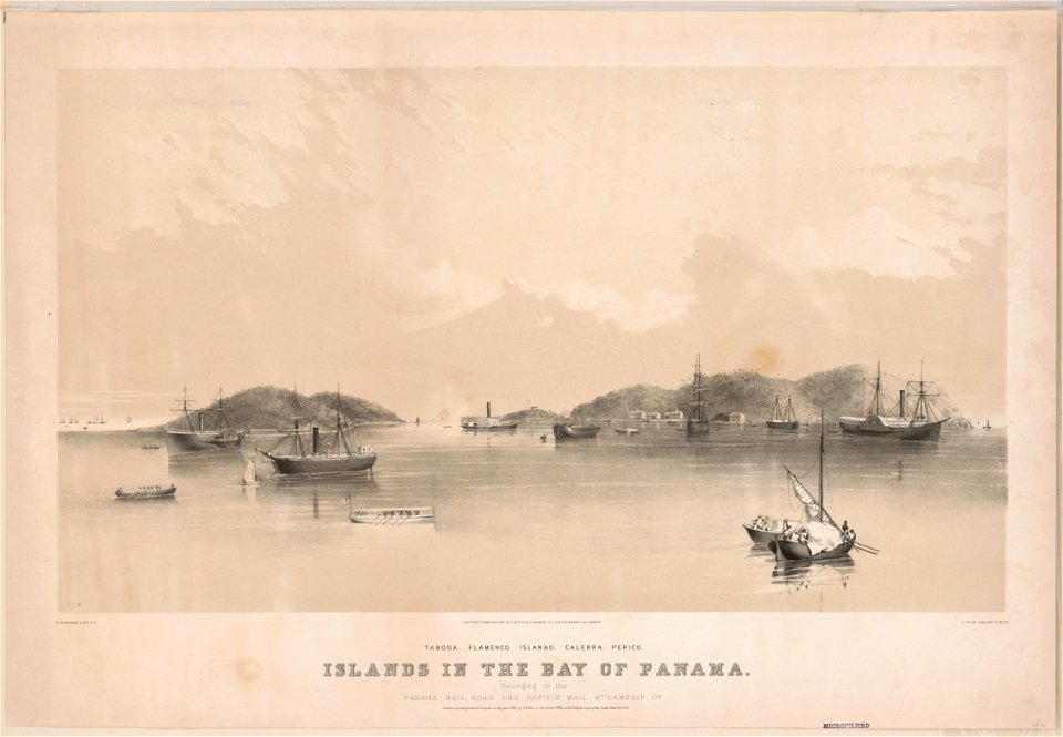
taboga island
panama bay
landscape
travel
background
travel
water
tree
background
travel
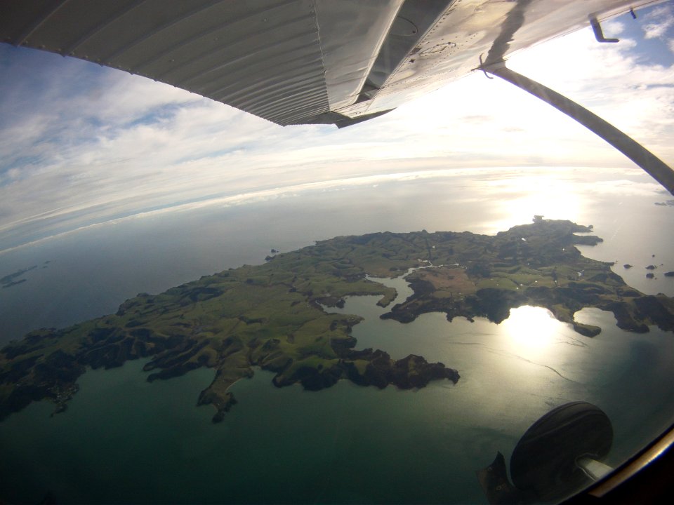
new zealand
aircraft
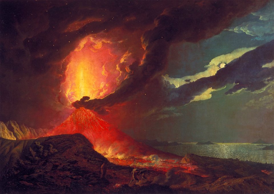
with a view over the islands in the bay of naples by joseph wright of derby
vesuvius in eruption
vesuvius in eruption
der schöne schein
travel
water
background
tree
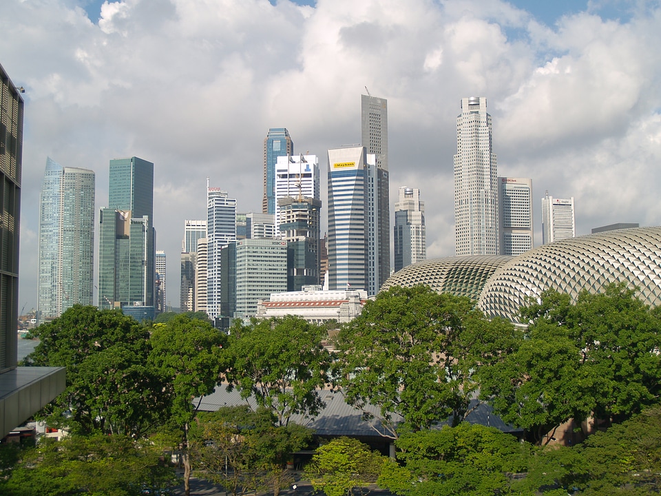
building
skyline
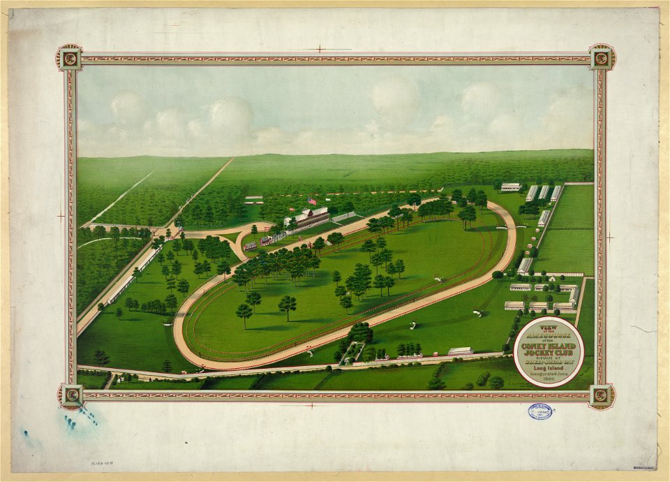
racecourses in new york (state)
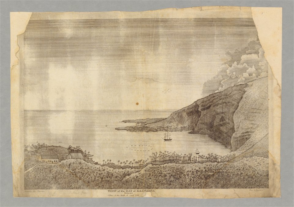
a picturesque tour of the island of jamaica (1825)
montego bay
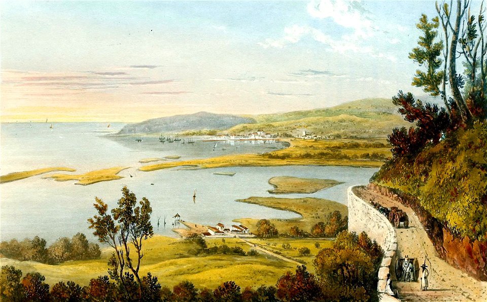
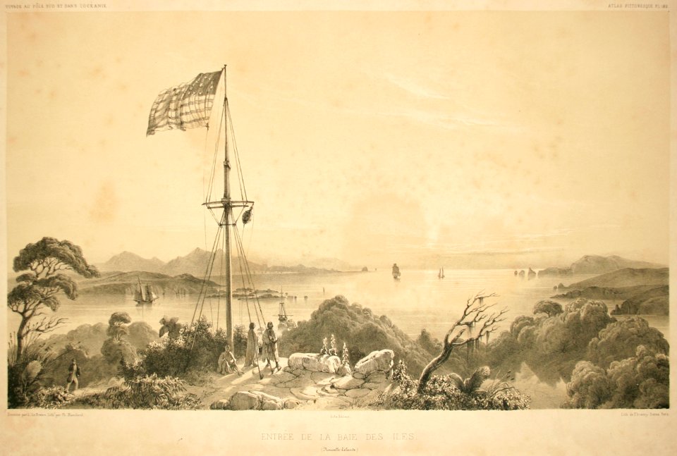
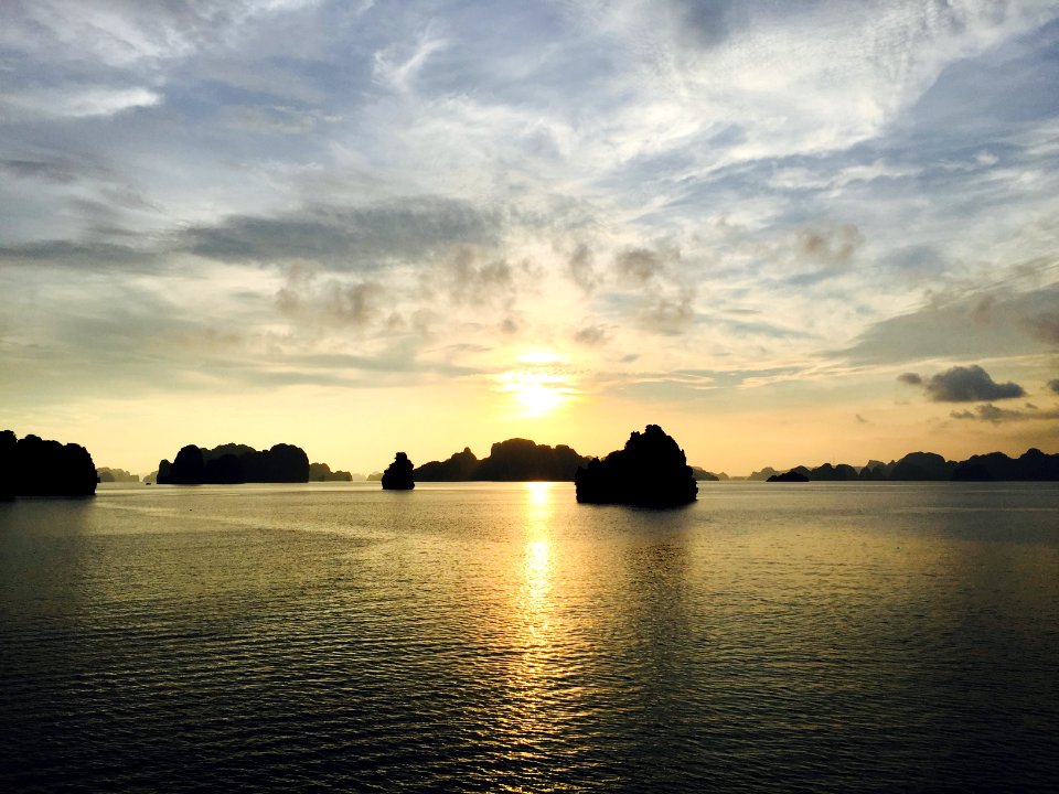
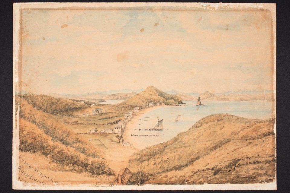
bay of islands
new zealand
islands
water
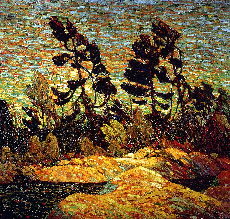
20th-century landscape paintings
paintings by tom thomson
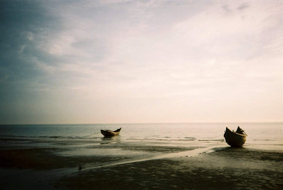
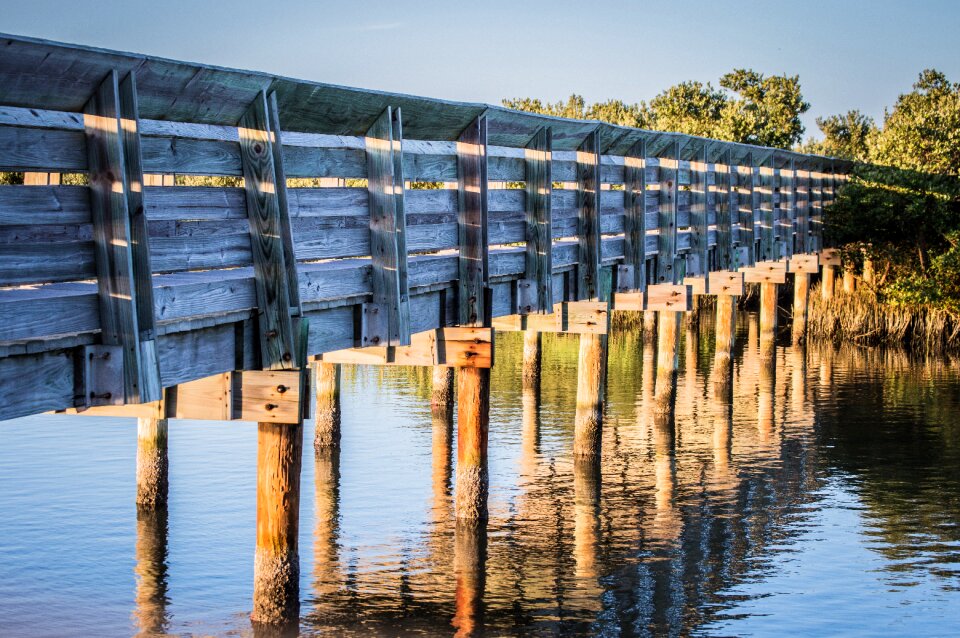
beach
boat
beach
cape
beach
bird
media needing categories as of 14 may 2019
symbol
travel
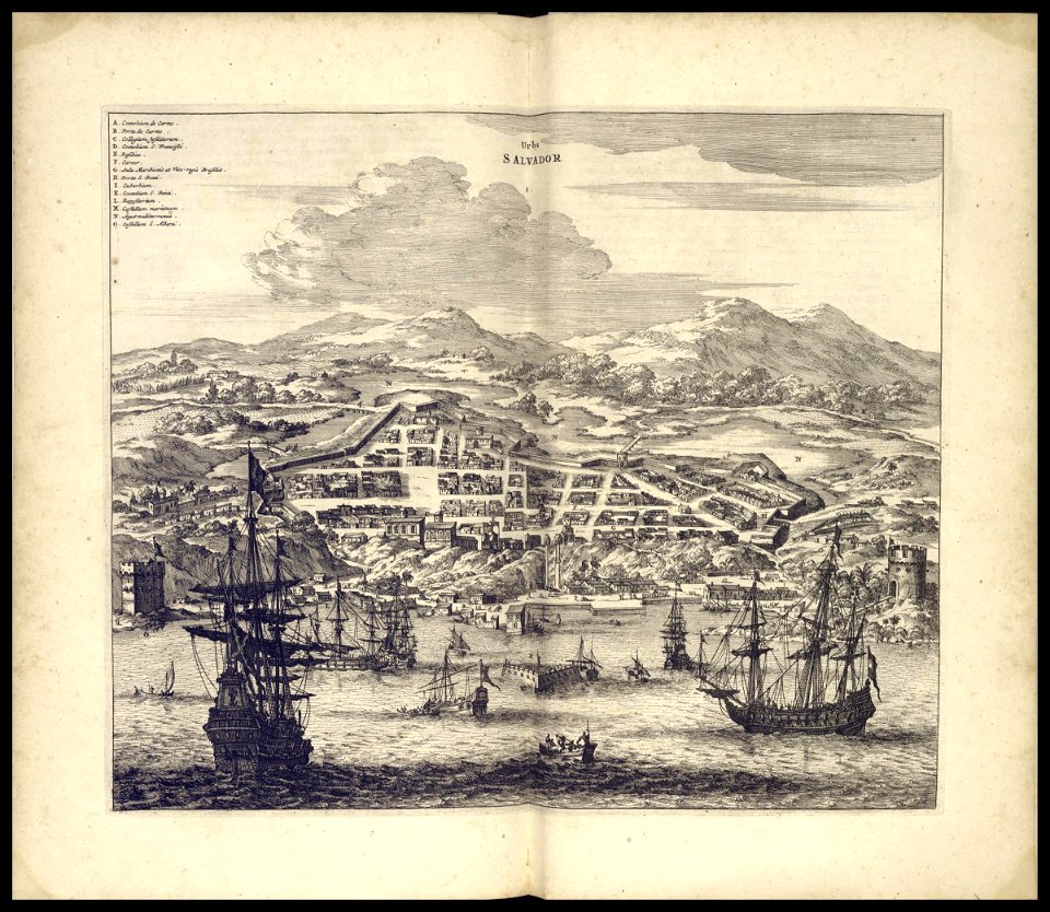
book illustration
media needing categories as of 28 may 2021
media needing categories as of 28 may 2021
1596
water
fish
landscape
winter
water
boat
islands
prison
book illustration
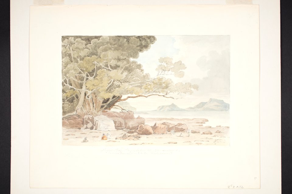
files from auckland museum flickr stream to check
collections of auckland museum
files from auckland museum flickr stream to check
collections of auckland museum
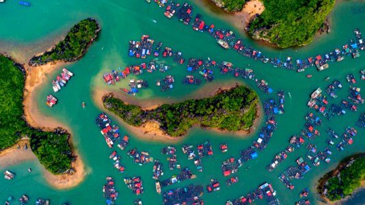
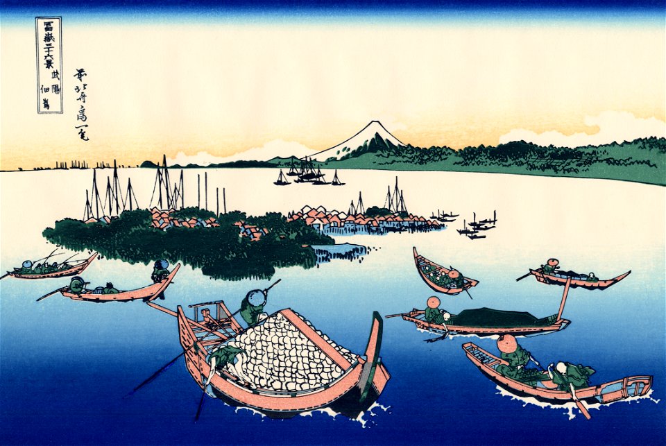
tsukudajima
tokyo bay
islands
blue
water
coast
travel
city
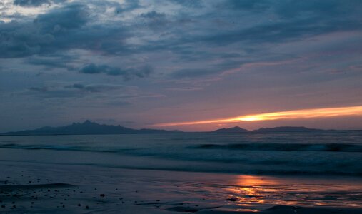
beach
blue
islands
sunset
pearl bay
canton
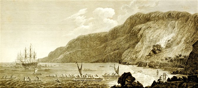
third voyage of james cook
james cook
confederated salish and kootenai tribes of the flathead nation
marcus lowther
paintings of mount desert island
paintings by thomas cole
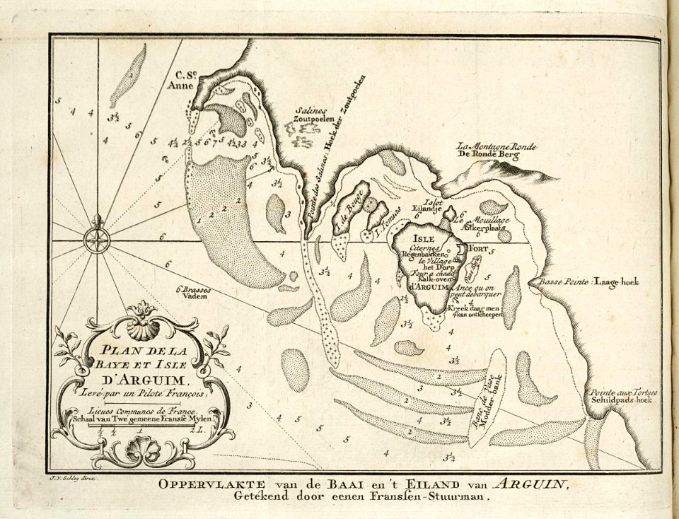
maps of the west-indische compagnie
1750
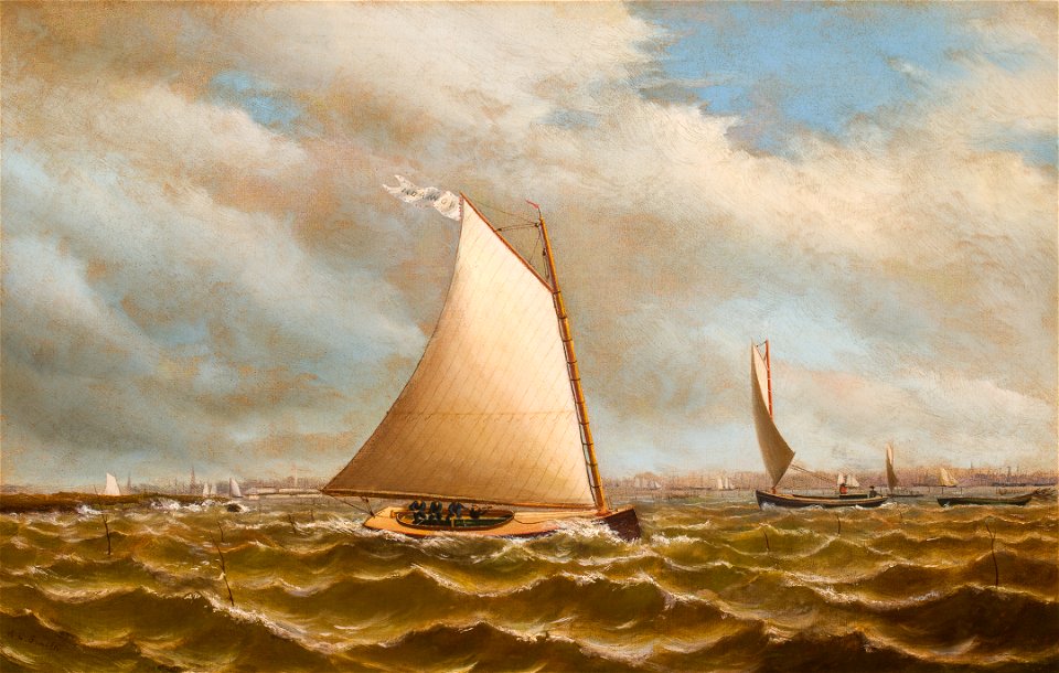
paintings by archibald cary smith
maps of the west-indische compagnie
1747)
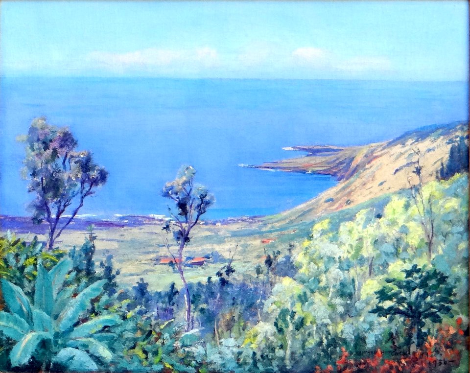
hawaii in paintings by d. howard hitchcock
kealakekua bay in art
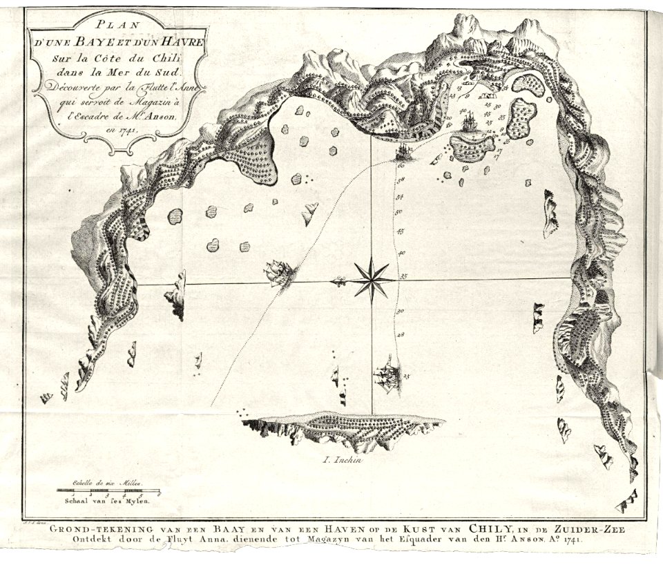
pacific mail steamship company
panama bay
water
sea
a picturesque tour of the island of jamaica (1825)
saint ann parish
water
boat
maps of the dutch east india company - indonesia
1598
landscape
sea
landscape
travel
islands of montenegro
michael zeno diemer
architecture
water
islands
water
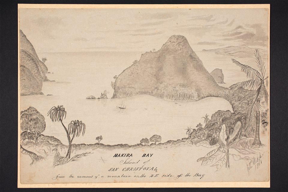
files from auckland museum flickr stream to check
collections of auckland museum
west-indische compagnie
1671
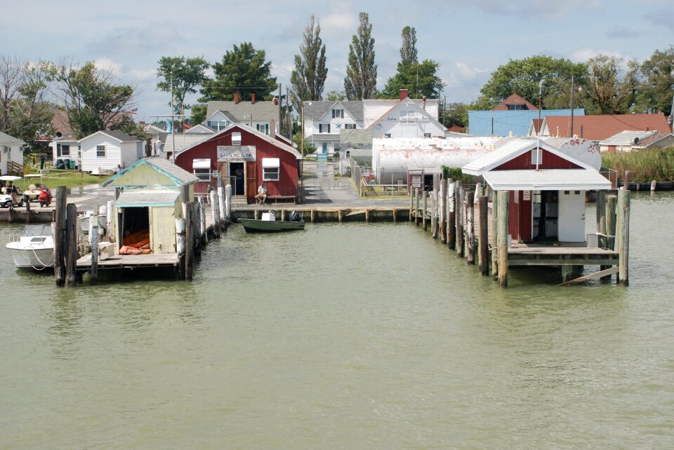
paintings in the portland museum of art
penobscot bay
files from auckland museum flickr stream to check
collections of auckland museum
landscape
nature
water
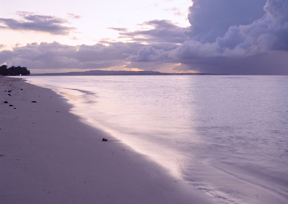
beach
landscape
summer
water
tree
landscape
bird
landscape
boat
water
boat
landscape
sea
grass
tree
files from auckland museum flickr stream to check
collections of auckland museum
manhattan
london
bird's eye view maps of rhode island
building
sea
landscape
water
historical images of hawaii (island)
kealakekua bay in art
201 - 300 of 3,172
Next page
/ 32